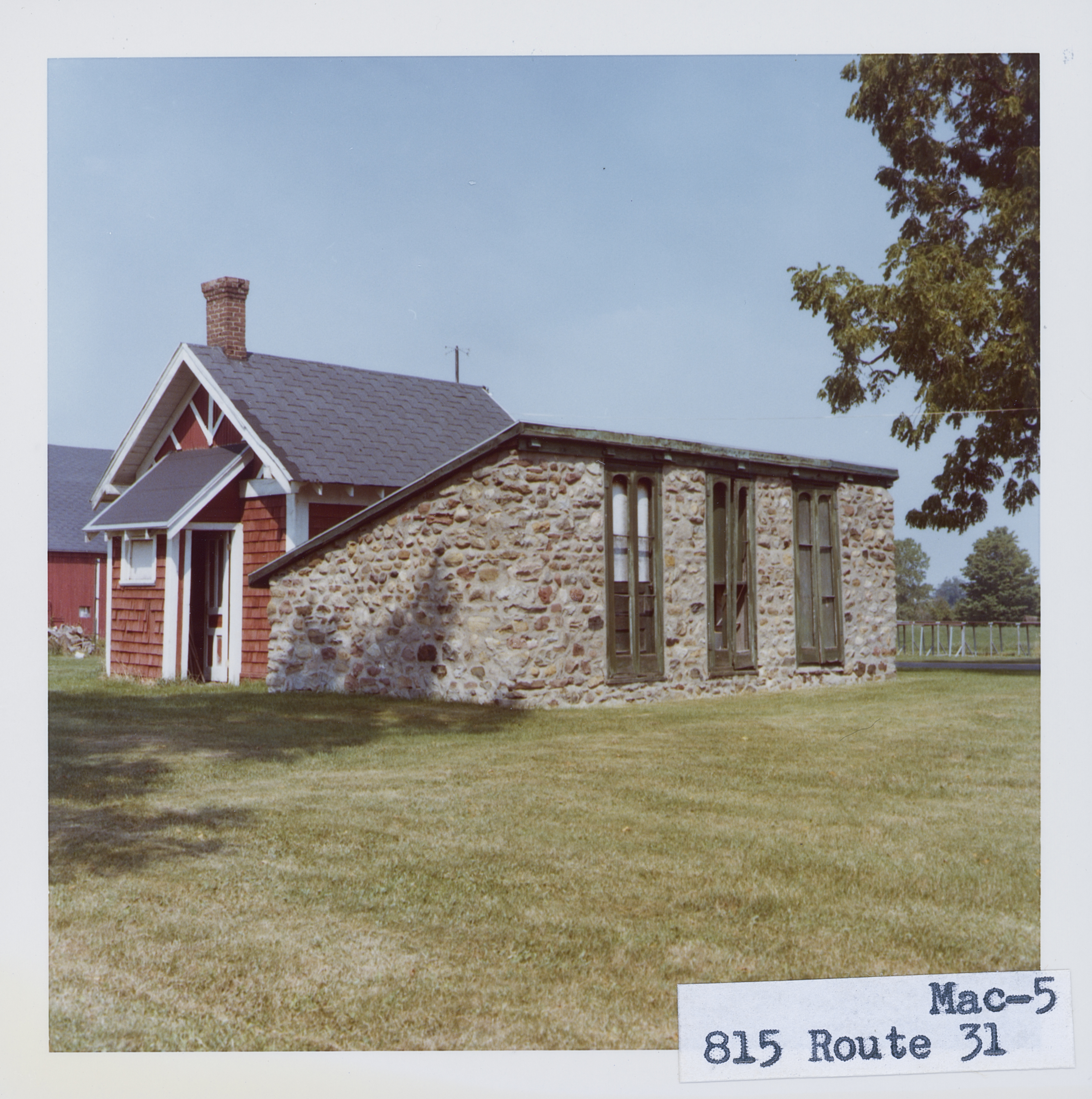
Building date: Unknown, torn down circa 2010?; no trace of it remains.
Original use: Farm out building.
Corner structures:
Mortar application and content:
Types and uses of stones:
Types and choice of windows:
Structures with similar masonry details:
Masons who worked on building:
Unique features:
Map views courtesy Google Maps. Address is Google Earth confirmed; 43°03'55.00"N 77°20'16.64"W. Current owner of record, Elmira Property LLC as of the 2019 Tax Roll.
Town of Macedon and Wayne County Maps
Roudabush Survey notes that this is not a cobblestone structure. Fieldstone?
This structure is not listed in the Wayne Historians Organization (WHO), Historic Sites Inventory Website
 Mac_5_1.jpg | 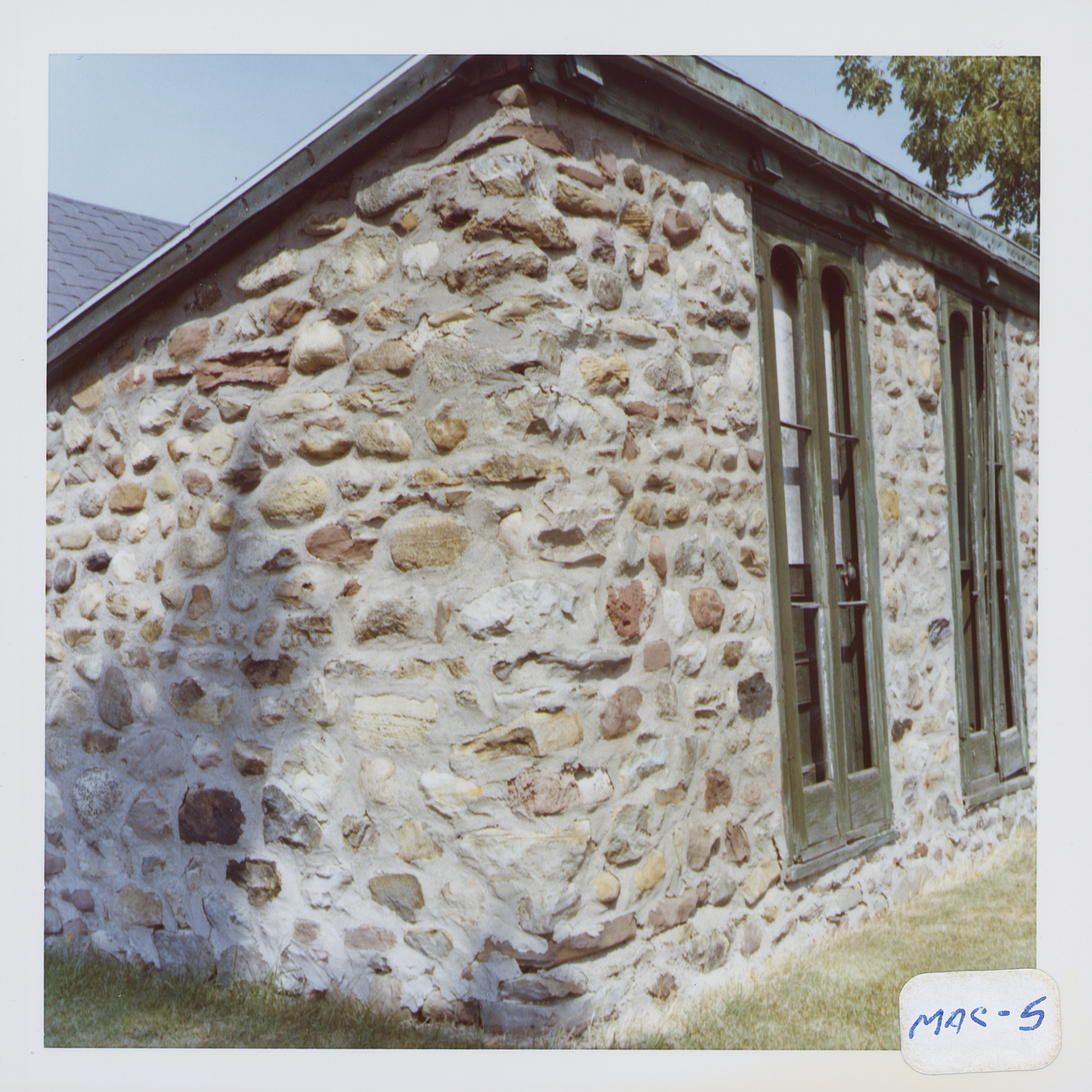 Mac_5_2.jpg |
